
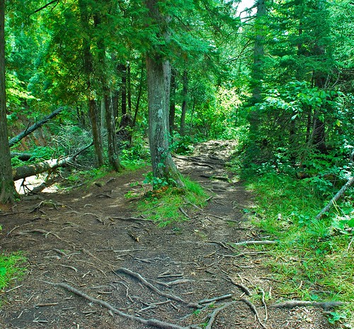
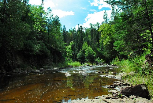
Sunday we took a hike along four miles of the Superior Hiking Trail. The SHT is a 205 mile trail that runs from Two Harbors to the Canadian border, along the edge of Lake Superior. Here is a map of the whole trail. Now this was REAL hiking, not the state park kind we usually do. People backpack along these trails and camp. There is a shuttle schedule so you can choose to do as much or as little as you want. Since part of it runs through the various state parks along Lake Superior, we just did what was near the state park we were staying at. The trails looked like this:

(Harpo might actually be peeing on a shrub in that last shot, lol)
It was pretty rocky and rough terrain, but boy was it fun. And since we were out of a state park, Harpo got to get off his leash for a while, which he loved!
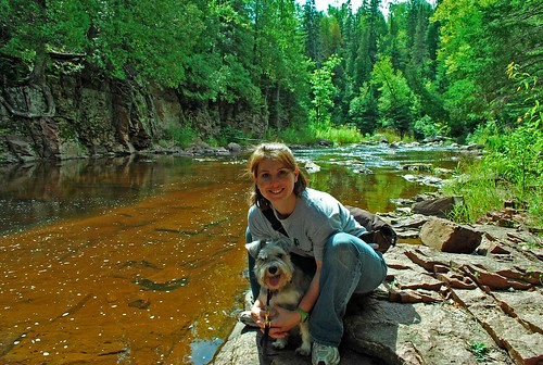
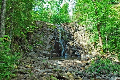
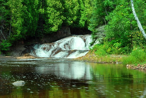
The part that we took went up along the southwest side of the Split Rock River (which runs into lake superior), then crossed the river and went back down on the north east side. It was pretty being able to follow the river up and see some of the pretty falls along the way:
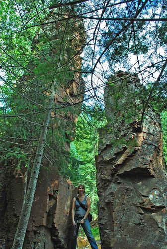
1.5 miles into the trail we came to THE split rock. The river runs right behind it.
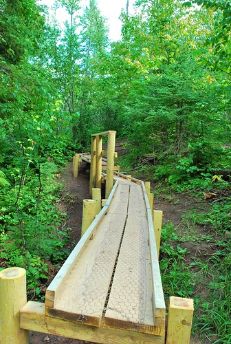
The bridge to cross was about 1.8 miles up the river (or maybe 2.05 miles ahead, not sure if our map was reading from the first bridge that was no longer there or the second bridge):

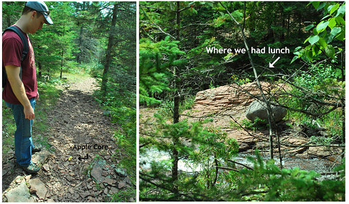
While stopping to eat lunch here:
I had eaten an apple. I asked Kyle if he thought he could throw it to the other side of the river. Sure enough when we were coming back down the other side (probably 45 min to an hour later) we found it, RIGHT in the middle of the trail!!!
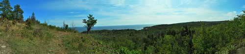
The Panorama that is at the top of this post was taken at the top lookout area of the SHT, over looking Lake Superior, pretty breath taking - not only the hike up there, but the view too ;-)
Overall it was some of the funnest hiking we have done, but boy did our feet hurt after that!!!
Thanks for reading!
________________________________________________________
No comments:
Post a Comment